Hunting
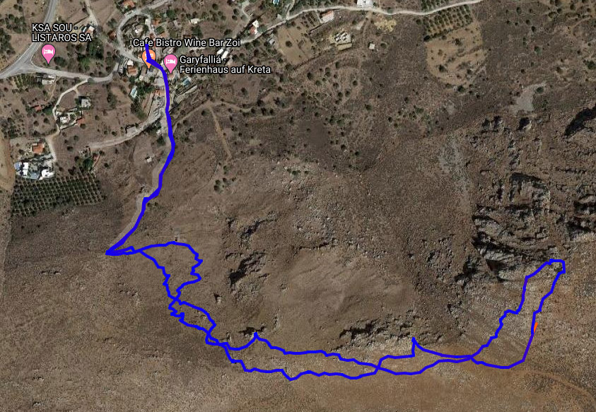
Listarokorfi Hike
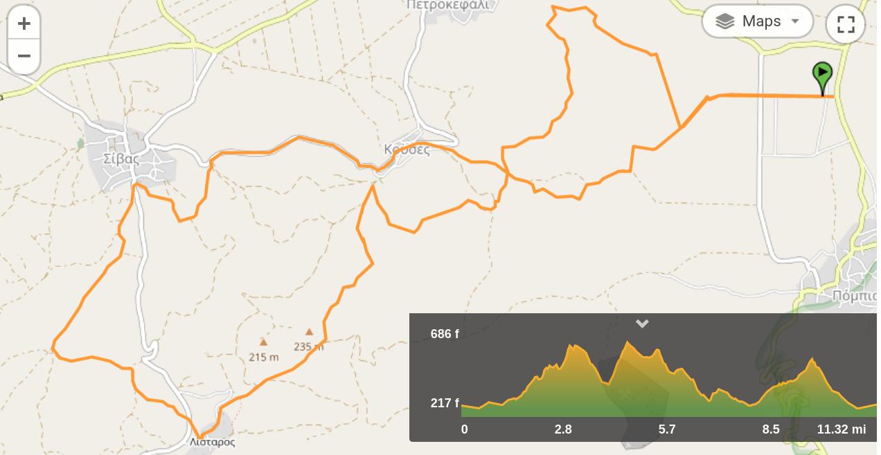
Mires - Listaros - Kouses bike tour
The route is about 20km long. You gain about 500 meters of altitude in total. The starting point of the route is roughly 4 km south of Mires, next to the Fire Department.
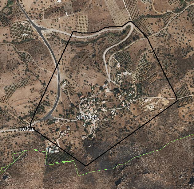
You move west for about 1 km. Then, you cycle north towards the village of Petrokefali, and subsequently south towards the village of Kouses. However, you do not enter Kouses, but continue towards the village of Listaros. This part of the route is the hardest, since you have to cycle up several hills. Near the village of Listaros, you then go downhill. You pass through the village, and then exit it through a narrow path on the west side. After Listaros, the route continues towards the village of Sivas. From Sivas to Kouses you follow the asphalt road (very few cars) and move towards Kouses and back to the starting point.
Reproduced from Mesara Bikes with permission of Pavlos Pavlidis.
You can download the GPX file here.